
Whether you’re in the market for a home in Lake Oswego or not, check out this cool mashup of maps and home construction history.
Developed by online real estate listings site Trulia, this application, called Hindsight, plots a sampling of an area’s home construction dates on top of a Microsoft Virtual Earth map. A timeline automatically starts scrolling from around the turn of the 20th century and as homes were built over time, they ‘bloom’ on the map.
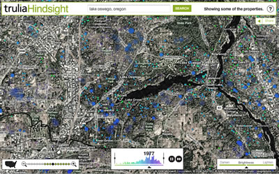
The screen image shown here isn’t particularly evocative of the animation, so click on the image or here to experience it.
The Hindsight viewer shows the peak construction periods in Lake Oswego to be the mid 50’s, then throughout the ’70’s, and finally, a boom in the 90’s.
The best way to view this is to stare at the middle of the screen and let your peripheral vision absorb the data as the timeline scrolls. Zoom in for a little more detail, or zoom out to see the Portland metropolitan area.
Is this useful? Well, if you’re not familiar with Lake Oswego, you can pause, then slowly advance the scrollbar on the timeline to see where the homes of your preferred era have been built. For example, if you’re looking for the highest ratio of homes built in the 90’s, you might be attracted to the Westlake area. First Addition might appeal to vintage homeseekers.
Use it for research, or just for fun. Link to Lake Oswego Hindsight map